Australia’s #1 collection of best practice tools, guides and resources for professionals. Made in partnership with Living Melbourne. If you have a guide you would like to showcase, please contact us.
Showing results for:
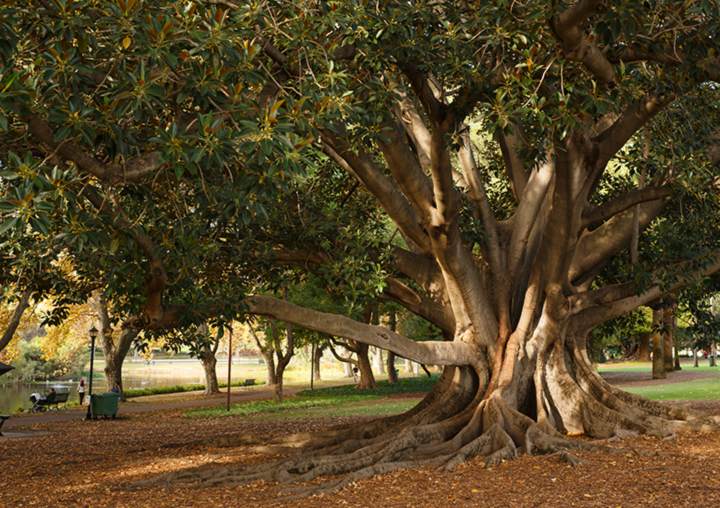
DELWP in partnership with RMIT University, CSIRO, and the Clean Air and Urban Landscapes (CAUL) Hub of the National Environmental Science Program
DELWP Vegetation Cover Mapping 2014 and 2018
Department of Environment, Land, Water and Planning (DELWP) has worked in partnership with RMIT...
Read moreDepartment of Environment, Land, Water and Planning (DELWP) has worked in partnership with RMIT University, CSIRO, and the Clean Air and Urban Landscapes (CAUL) Hub of the National Environmental Science Program to map and analyse vegetation, land use, and urban heat across Melbourne. The project has been supported by implementation partner Melbourne Water. The project used UrbanMonitor – a digital aerial photography monitoring system developed by the CSIRO – to create the first high-resolution map that records the baseline of urban vegetation across Melbourne. This project mapped imagery in 2014 and 2018. The project can precisely measure the area of tree, shrub and grass cover at a land parcel level and track changes in this area over time.
Victoria Link